Showing posts with label Loveston. Show all posts

Tuesday, 19 March 2013

Did the Loveston erratic block the roadway?

The oldest maps that I have looked at so far (in these blogs) in relation to Loveston have been the early large scale OS maps of the area. See here:

There are earlier sources we can look at - the tithe map for St Twynnells parish (c.1840), and an even earlier map from a Stackpole Estate map book (c.1782). Extracts from these maps are shown below.

The road south from the church had yet to be improved, and the lane past the farm takes a different path to that today. It maybe, of course that the tithe map is incorrect, because on an earlier estate map from c1786, the road appears to pass to the east of the old building, not to the west, as on the tithe map above.

Perhaps the Loveston stone was part of a gateway into the farm?


Sunday, 27 January 2013

Other Erratics around Castlemartin

More Erratics


In my last post there was a brief glimpse of an erratic near the ruined building at Loveston. Better pictures of this stone are below.


On St Govan's Head (SR9739 9297) is another erratic, which was probably disturbed when the tank gunnery range was laid out on the headland. It seems to lie in/by an old pop-up target pit. The tape is 1 metre.


The view below is of the same stone, with an old target dugout/bunker in the background. Church Rock, in Broadhaven, can be seen in the distance.


The next example is resting against the south gable of Church House near St Twynnells church, near the postulated site of William Poyer's Longstone (SR94989757)


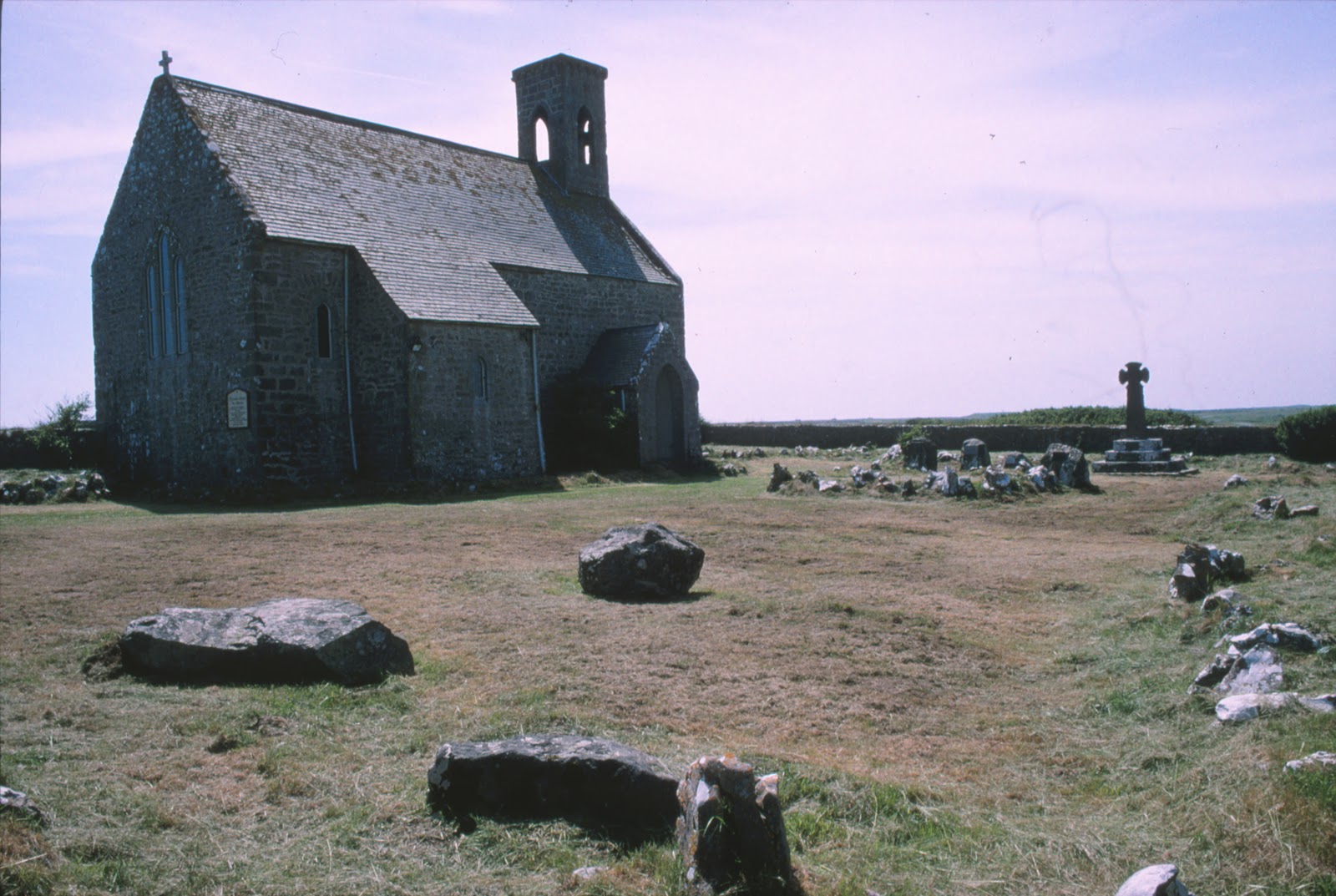
Flimston Chapel churchyard (SR92399558). There is a substantial collection of erratics in this churchyard. Some have been used as headstones for the graves of members of the Lambton Family who died in military service. Others have been left  sitting in one corner of the enclosure. All of these stones arrived in the churchyard when the chapel was renovated and re-consecrated in 1903. There are 7 of them. A pamphlet, which describes the features and memorials in the yard, printed at the time of the opening of the chapel in about 1914, gives us these vague details:
No. 1 Boulder, at the head of Lady Victoria Lambton's  grave was taken from just opposite Flimston Cottage. A 'brecciated spherultio, albite, trachyte or rhyolite.' Many occur in Pembrokeshire. This one 'seems to fit best with those of Romans'Castle in the character of its spherulites and groundmass.' Most of these appear to have travelled over 30 miles from the N. West separated from their parent rocks by St Brides Bay and Milford Haven, and by a considerable mass of high ground.........
[Flimston Cottage stood at SR927955, about 0.3 km ESE of the chapel and just north of the old clay pits.]
......No. 2 Boulder, from Pwlslaughter, which stands in the opposite North corner. [Bullslaughter, SR942944 - approximately 2.25 km SE]
No. 3 Boulder from Bulliber Farm [About 2.25 km WNW, at SR905968]
No. 3 Boulder from Merrion pond. [ About 2 km NE].
No. 5 Boulder from Lyserry Farm
No. 6 Boulder from Lyserry Farm.
No.7 Boulder from Lyserry Farm.
[Lyserry is about 3.4 km ENE of Flimston chapel, at SR9556967]

Clearly there was some significance in dragging these rocks from their resting places about the area, but quite what the intention was is unclear. It seems likely, as I have mentioned elsewhere, that they were all intended to be memorials or headstones.


Between Mewsford and Bullslaughter  Bay (SR94099405). This stone seems similar to some of those at Flimston Chapel, and indeed, the stone of St Govan's Head, mentioned above.


In the background of the picture below can be seen a target operating and observation dugout, of a type built on the range in about 1942.


There are other erratics in the area, but as yet I have not photographed them.

I am hoping to update this posting in the future with a Google Earth file that will plot the locations of the erratics I know about in the Castlemartin area. 

Do you know of any others in South Pembrokeshire?

Monday, 21 January 2013

More Erratics and a Hidden Building

In the last post I mention a cup like mark on the upper surface of the stone in Loveston farmyard. I know little about what to look for in "Cup and Ring" markings, but I have ordered a book today to try and learn more:

British Prehistoric Rock Art - ISBN: 9780752425146,  Beckensall, Stan

I suspect the mark I have seen is nothing but an "accidental chip off the old block", but it is an excuse to look into the topic in more depth!


Having spent a good 45 minutes examining the Loveston stone, I then had a look at some old ruins that the farmer, Mr Morris, had pointed out to me, incorporated into a cow shed on the western edge of the farmyard. There were two bullocks in the shed, so I could not get inside, but from the outside a huge arched fireplace was visible in the north end of the shed, deep in the shadows.


Walking around the outside of the building, it was clear that the stonework of the wall was good quality, late medieval(?) masonry. The quoins were large, squared-off, limestone blocks, and the building had little foundation - sitting on an outcrop of same carboniferous limestone. The chimney stack attached to the north gable of the fragmentary remains was of classic massive South Pembrokeshire proportions. The gable was cloaked in thick ivy, so much of the detail was difficult to see. First thoughts were that it might be the remains of a small tower house, like that at Carswell near Tenby. (See http://www.pemcoastphotos.com/_photo_7481978.html for other fantastic photographs like this.)

Carswell, Nr Tenby. The ivy clad building fragment bears a strong resemblance to the gable and stack of this medievel building.


Looking at old maps of Loveston, the size of the old building is visible in the c1866 Ordnance Survey map of the area (marked A).


By 1908 this same building had been extended.


The large chimney on the north gable of the structure can be clearly seen in both maps, as it can in the 1971 map below.


In the 1971 map, the large shed just east of the ruin can be seen. (The Loveston erratic lies just to the south of this).

The earliest map above shows the possible original size of this building, sited on the side of what was originally the lane from St Twynnells Church to the coast. At the time the now ruined building would have been built, the new east-west road running just north of the farm did not exist. This road was built c.1820 to link Stackpole Court with Brownslade.


The picture below shows the remains (exciting - isn't it!!!!!) viewed from the west in January 2013. Apologies for the vivid green grass and the sarcasm.


The length of wall visible shows no very obvious breaks in build, but the cattle troughs obscure some detail. The northern end of the wall seems to have more "batter". The picture below shows the quoin on the NW corner of the building. In front of the wall is another possible erratic boulder, seemingly placed here quite recently.


I had better post this now, from a snowy and cold Suffolk winter wonderland.

I'll come back and look at this building soon and explain how it might help work out the history of the Loveston Erratic and how it came to be in the yard. Something has just occurred to me..........


Thursday, 17 January 2013

The Loveston Erratic Revisited

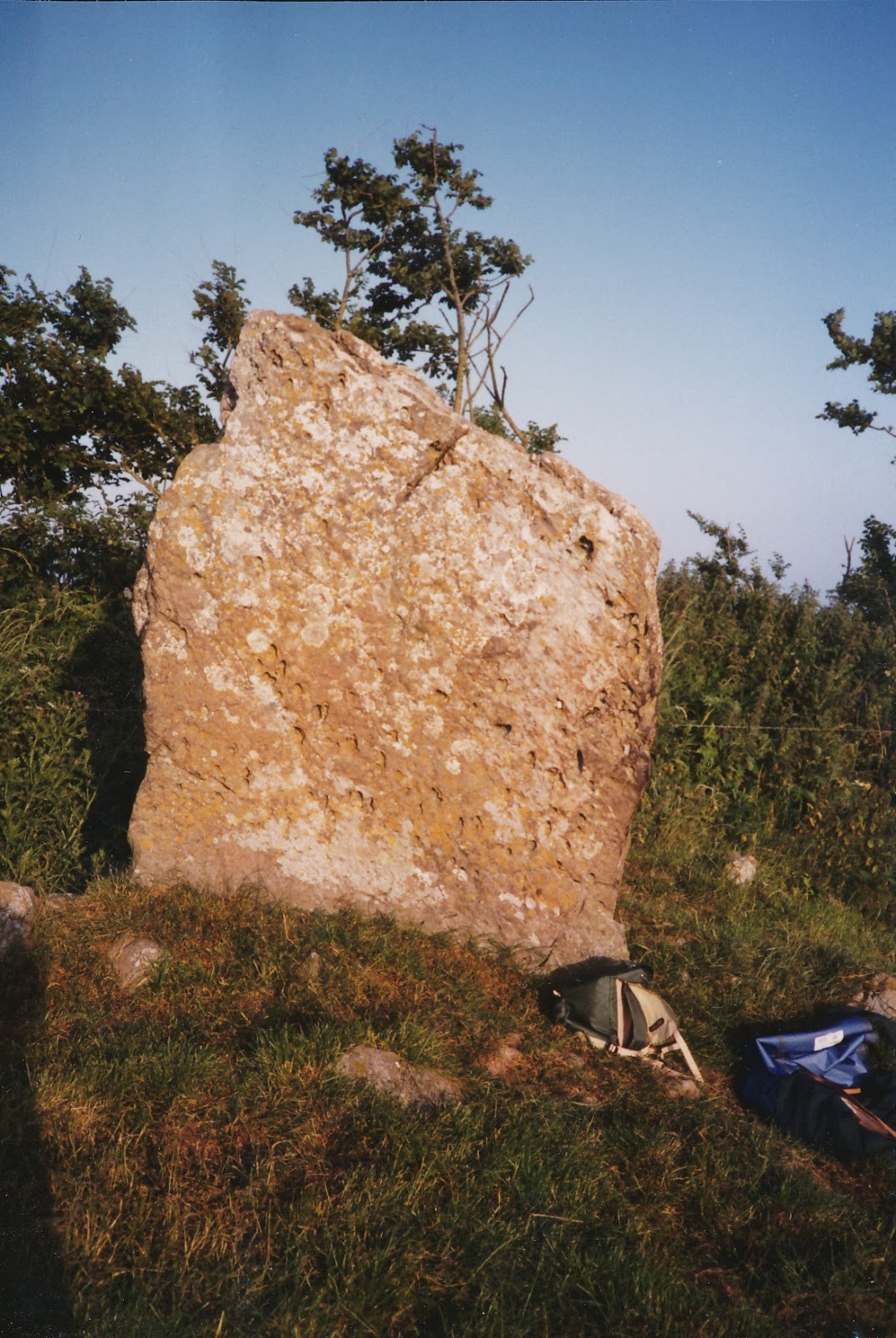
A closer view of the Loveston stone.

I have been back to look at the Loveston Erratic, in the farmyard in St. Twynnells, Pembrokeshire. See my previous posts and the discussion at Brian John's blog, here:

http://brian-mountainman.blogspot.co.uk/2012/12/the-loveston-erratic.html

I was also able to have a good discussion about the stone with the farmer, Mr Morris. He told me that the stone had always been in the yard, as far as he could recall. about forty years ago people came "down from Cardiff" and took photographs of the stone and tried to cut a slice off it - hence the groove on the upper surface of the stone. The northern end of the stone, hidden from view in the picture I posted before, has a very clean, smooth, seemingly sawn, face. See the photographs below.

The Erratic in the farmyard at Loveston, viewed form the west in January 2013.
View of stone from the east. The book is 32 cm long.

View from north-east . The book is 32 cm x 24 cm.


View from north. Note flat "sawn" end. Attempt at cutting the stone can be seen running away from the camera.

View from north-west.
View from WNW appx.


View from WSW appx.


View from south-west appx.


View from south.


View from SSE appx.


View from south-east.

Saw cut in top of stone.

Saw cut in top of stone. Edge of book is 24 cm parallel to cut.

Another view of saw cut.
The photograph below shows (rather badly) a cup like mark on the stone. Has the appearance of having been scooped out.

Cup like mark on upper surface of stone. About 1cm deep.
Looking down on north plane face of stone.

According to Mr Morris, over the years various people have come to the visit the stone and comment on it.Some have said that it was a stone left behind whilst transporting the "Bluestones" to stonehenge. By man or by ice?

The stone was listed, but is now no longer so, but there is no intention to remove it. It is Mr Morris's belief that it gives the name to the farm - Loveston(e).

Comments and thoughts very welcome!

Thursday, 8 November 2012

Bronze age with a computer, Love in Loveston farmyard and the the burial of William Poyer (again).


Friday

Last time I explained how sunset at the summer solstice did not appear to take place behind St Twynnells church, or over the Devils Quits, as observed form the Harold Stone. If all this is incomprehensible to you, then you have not read the previous episodes. You will also recall how I had learned that due to variations in the earths motion around the sun, the angle of the sunset would have been different in the Bronze age. The problem for me was to find out where you would see the sun set from the Harold Stone several thousand years ago. The answer was with a computer and a piece of software called Sky Map Pro.


Skymap allows you to visualise the night  sky (and the day sky come to that) at any time in the future or past. But what time period should I be looking for?

Luckily, the Dyfed Archaeological Trust carried out an extensive excavation on the Devils Quoit on Stackpole Warren in between 1977 and 1979, and this was reported on in Current Archaeology No. 82, in May 1982. Carbon dates from the excavation ranged from 1390 BC to 160 BC, so I decided to go for 1200 BC, which seemed to be the fairest Bronze age date to take from the evidence of the dig. The first surprise to me (a novice in these matters) was that using our modern dating system, the solstice was not on 21 June in 1200 BC. It was on 3 July, with the sun setting at 2038GMT. The bearing of the sun at the time of setting, relative to the Harold Stone was just over 312 degrees (312 degs 1 min 15 secs to be precise). 

I eagerly plotted this on the map only to find that this placed the sun just to the right of the church on the horizon, but precisely in line with the Devils Quoit. In truth I had hoped that the sun would set behind the church as I felt tempted to believe that the church was, somehow, part of a grander scheme of alignments, and its location on the horizon, more or less in line with the two standing stones was more than just a coincidence. This was not to be! The sun, in the Bronze age, set to the right of the church, over the roof of the much later cottage abutting the east of the churchyard. You can see the cottage in question in a photo in an earlier post, showing the view eastward from the top of St Twynnells church tower.

I had to be content with the Harold Stone and the Devils Quoit being aligned on the summer solstice sunset, but whether by chance or design was arguable.

As part of my researches into the history of St Twynnells parish, I was keen to have a look at the remains of Lay, which was a very derelict house in a copse on the land belonging to Loveston Farm, which sits about half a mile south of St Twynnells church. I duly made arrangements with the farmer, Mr Morris, to gain access to the site, and whilst walking through the farmyard at Loveston stopped to look at the Loving Stone, that had sat in the yard seemingly for ever. 


The stones under discussion are shown in the Google Earth extract below.


Google Earth file can be downloaded here, and this will give you then bigger picture!

http://sdrv.ms/SJ8c4h (This link broken at the moment! I am on to it!)

The Loving Stone has several stories attached to it, the main gist of them all being that it was customary for local lads and lasses to "pledge their troth" to one another at the stone, just like at the church alter........Hmmmnnnn.... Also, there is the suggestion that if it is ever moved, the farm will fall on hard times. It is not a "local" stone, but seems to be an igneous erratic from further north in the county.


Loveston farm, from the tower of St Twynnells church.

This is where William Poyer's particular wishes for his burial shed much light on the origins of the stone in Loveston farmyard. Here is part of his will:


He asks........ for my body to be buried in the east [en]d of the the churchyard of the parish church of St Twynnells by the Long Stone which does there stand


As I have suggested before, if, in 1200 BC, you were sitting with your back against the face of the Harold Stone, and were looking northwest at the setting sun on the day of the summer solstice, you would see it drop below the horizon over the Long Stone mentioned in William Poyer's will. Did William know this? Is it coincidence? Is the alignment by design? Where is the Long Stone now?

The last question is perhaps the easiest to answer. It is in the farmyard at Loveston. It was probably dragged down the hill from the church yard, sometime after William Poyers death. Why move it? Did its pagan associations cause affront to a puritanical congregation? We will probably never know, but the clue to the Loving Stones original place is the tradition that local lovers "pledged their troth" at the stone. Of course, they probably did this on their wedding day at the church and the tradition moved, through half-heard tales, when the stone was dragged to Loveston.

What do you think?


Next Time: The Green One and going solo.


Saturday, 3 November 2012

Helpful Parents, Standing Stones and the Burial of William Poyer


Friday - late!
Harold Stone, Stackpole viewed from appx south west 

In the last post I promised I would talk about the things parents do for you. On this occasion my mum and dad were given an investigative task in the field of archaeo-astronomy. You will hopefully recall me explaining about the "Dancing Stones of Stackpole" and in particular the viewshed from the Harold Stone. To get up to speed with this, then have a look back at my last post.


My previous post is here.
I mentioned that my interests had moved away from studying various megalithic sites in the UK and Europe (this was sometime in the 1980s), and I was now researching the local history of two small parishes in South Pembrokeshire - Warren and St. Twynnells. The link below will allow you to download a Google Earth file for the parishes that shows their extent as a coloured overlay.

St Twynnells Parish: http://sdrv.ms/SpxnK9

Warren Parish: http://sdrv.ms/Yg4uRg


Harold Stone Stackpole, viewed from north-west
Harold Stone, Stackpole, viewed from north-west
It was 1992 and the summer solstice was about a week away when I remembered that I had always planned to see the mid-summer sunset from the Harold Stone, just to see if the sun really did set over the Devils Quoit. But, working in Suffolk, and unable to get away, I decided to ask my parents to do the job for me - and take photographic evidence!


It was a strange request and I am sure that my dad thought I was barmy - but he was the photographer so he had to go! I asked them to get there well before sunset, and described, over the phone, where the Harold Stone was and the importance of taking the photograph with their backs to the stone and so on. So, on 21 June, they both duly clambered over the gate into the field (Horestone Park, by the way) and took the pictures needed. It was a beautiful evening and they both enjoyed the adventure, but mum was a bit wary of the cattle. The bonus was that they managed to find some mushrooms too!

A week or so later, the photos arrived in the post (no email or Picasa then)


Mid-Summer Solstice sunset take from the Harold Stone, Stackpole, by my mum and dad, 21 June 1992
The picture above shows the sun about 10 minutes before it sets. The path of the sun whilst setting, at this time of year, continues to move northwards across the horizon as well as down towards it. The question was, does the sun set (disappear from view behind St Twynnells church? This is in a direct line with the Devils Quoit, which though visible at the time, is hidden in the dark foreground of the photograph. To me it seemed unlikely given the evidence of my dad's photograph.

A few weeks later, I was at a talk on Pembrokeshire Archaeology, put on by the National Park Authority. Someone in the audience, asked the speaker about the alignments of prehistoric monuments. In part of his answer, the speaker revealed that the direction of sunset and sunrise were different in prehistory, due to the "precession", or wobble of the Earth. Aha! perhaps, in the Bronze age, the sun DID set behind St Twynnells Church and over the Devils Quoit! Of course, the church was not there then, but its neat alignment provided a modern marker for the event.

But....how do you find out the direction of mid-summer sunset in Pembrokeshire in the Bronze Age?!!?

I waited a few years, but the answer was - with a computer!

In the meantime, I was continuing to research the local history of Warren and St Twynnells. One standard technique I used was to read and analyse all the wills I could track down for people who had lived ( and died) in the two parishes. Often these wills had an inventory of all the deceased's property appended to them, for probate purposes, and where these made mention of the names of rooms within the dead person's house, you could get an insight into what their houses might have been like. 

Poyer is a well known name from South Pembrokeshire, particularly famous (or infamous) in the seventeenth century. Amongst the surviving wills for St Twynnells Parish, is that of William Poyer. He was not a wealthy man.The inventory of his possessions was quite meagre:


It consisted of an old cow and two heifers, one colt, old brass items and so on. The inventory was made in 1671. No rooms are mentioned and we have no idea as to where in the parish he lived. However, his will is very useful to us in our quest to understand the standing stones of Stackpole. Of all the wills I have read it is the one that has given me the most excitement!

The excitement comes from the fact that he was very particular about where he wished to be buried. 


More about this later! What a cliff hanger!


Next time: Stepping back into the Bronze age with a computer, pledging your troth in Loveston farmyard and the the burial of William Poyer.